CamFlite and SkyvueAP will help design your golf course

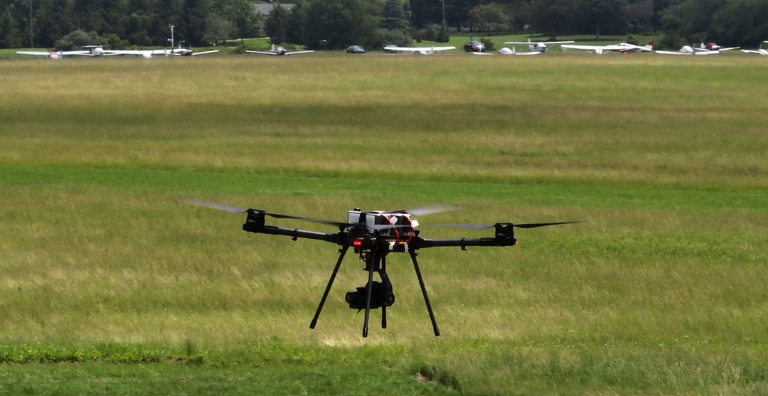
LiDAR and laser scanning have been around for quite a while. Coupling this technology with a state-of-the-art drone opens the possibility to get much-needed and highly ACCURATE data.
Whether starting your course from an undeveloped lot or renovating a current course for your client, drone LiDAR is a dream for and golf course architect/engineer. Drone LiDAR flies a mission over the property and scans the terrain with millions of laser points. With these points referred to as a “Point Cloud”, we can create a highly accurate model of the terrain and its features. The LiDAR can even collect topographic data through dense trees and vegetation.