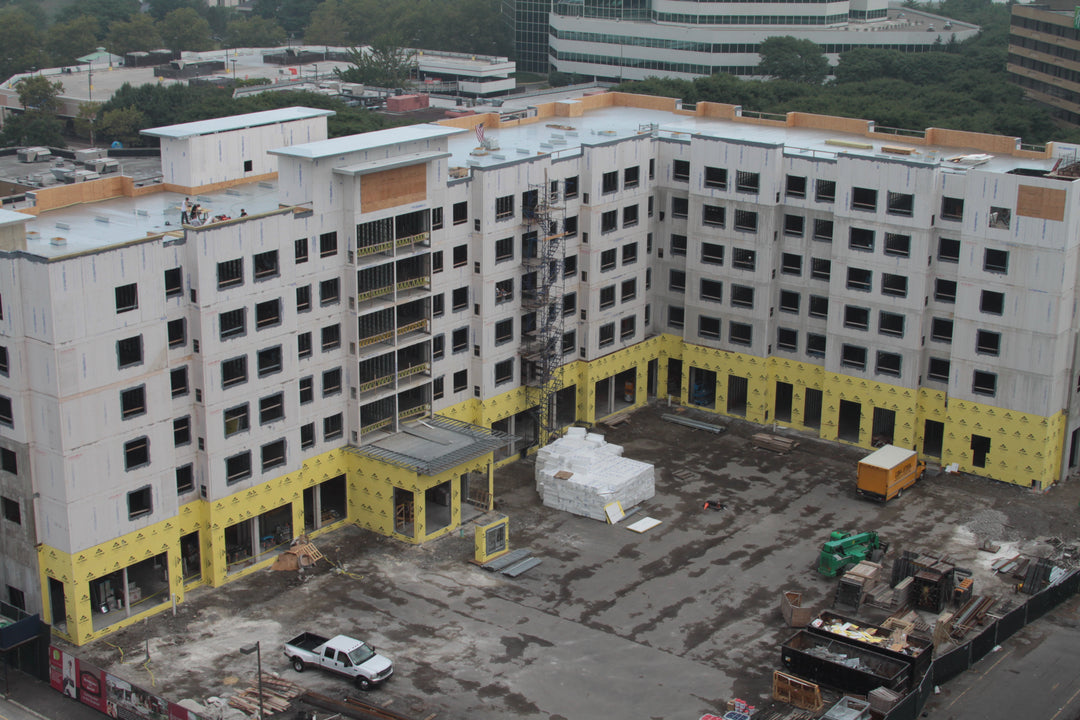
Construction
Engineering and construction firms turn to Camflite's sUAS to help digitally track & inspect ongoing projects. Using our software and scanning methods, through either lidar or photogrammetry methods,we deliver results in a highly-accurate digital map of worksites. Camflite sUAS provides the ultimate efficient & documentable approach to ensure the progress and quality of construction projects.
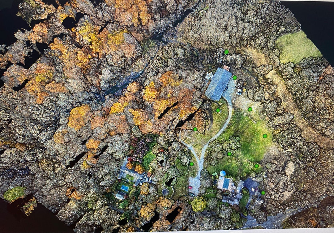
SURVEYING
Camflite's sUAS offer Geospatial experts a reliable platform to carry out aerial surveys with valuable Lidar sensors. We offer redundancies, including a proven fail-safe autonomous parachute system, providing peace of mind when working to survey new property developments, archaeological sites, transportation infrastructure, coastal erosion, and so much more.
SECURITY
Camflite will keep your facility secure through ISR capabilities and secure data transmission. A wide range of EO/IR imaging systems can be configured with complementary technologies, such as power tethers and autonomous charging stations, to create a fully autonomous security solution.
PUBLIC SAFETY
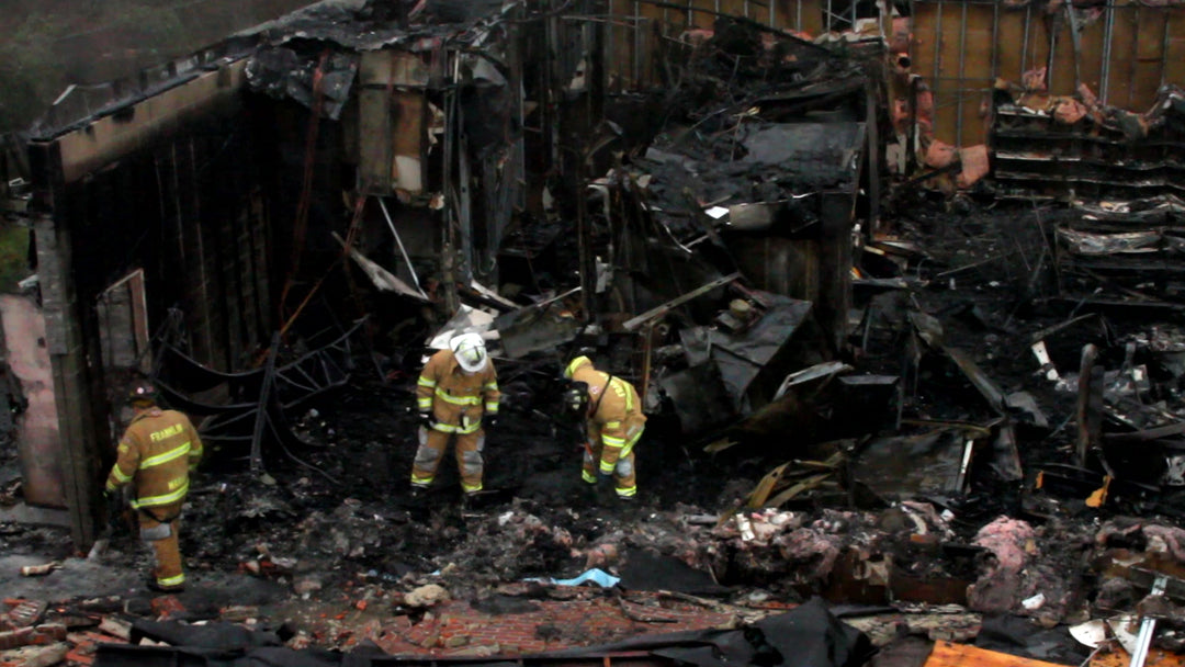
Law Enforcement agencies use Camflite sUAS for emergency response situations, search & rescue missions, and border patrol applications.Camflite's sUAS reliable & secure data feed paired with a high-quality thermal camera gives agencies an immediately deployable solution. Whether as an eye-in-the-sky or emergency response, trust the Camflite to get the job done.
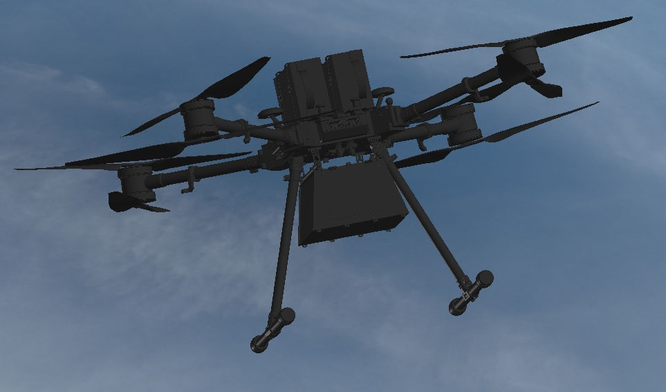
Payload Delivery
CamFlite sUAS are fully capable for autonomous payload delivery. We offer many solutions to carries a verity of payload sizes. Using AI flight controllers Camflite sUAS are more than capable to get the delivery made!